
File:South Africa Districts showing Cape Winelands.png

Size of this preview: 800 × 581 pixels. Other resolutions: 320 × 232 pixels | 640 × 464 pixels | 1,024 × 743 pixels | 1,141 × 828 pixels.
Original file (1,141 × 828 pixels, file size: 26 KB, MIME type: image/png)
Resume
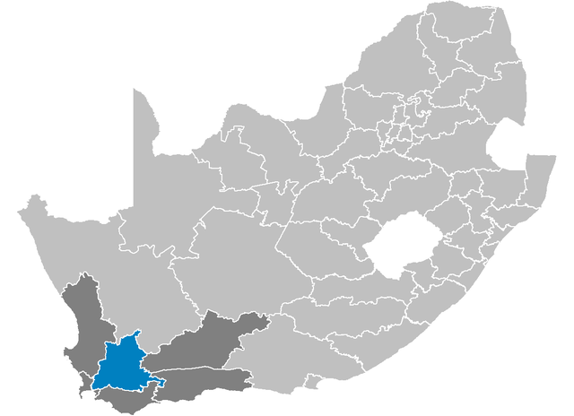
| Deskriptione | Map showing the Cape Winelands District Municipality higlighted within the Western Cape. |
| Date | |
| Source | Modification of Image:South Africa Districts showing WC.png |
| Author | User:Htonl, originally based on map by User:Waynedam |
| Permission (Reusing this file) |
Dual-licensed under the GFDL and CC-By-SA-2.5, 2.0, and 1.0. |
Licensing
I, the copyright holder of this work, hereby publish it under the following licenses:

|
Permission is granted to copy, distribute and/or modify this document under the terms of the GNU Free Documentation License, Version 1.2 or any later version published by the Free Software Foundation; with no Invariant Sections, no Front-Cover Texts, and no Back-Cover Texts. A copy of the license is included in the section entitled GNU Free Documentation License. |
| This file is licensed under the Creative Commons Attribution-Share Alike 3.0 Unported license. | ||
| ||
| This licensing tag was added to this file as part of the GFDL licensing update. |
This file is licensed under the Creative Commons Attribution-Share Alike 2.5 Generic, 2.0 Generic and 1.0 Generic license.
- You are free:
- to share – to copy, distribute and transmit the work
- to remix – to adapt the work
- Under the following conditions:
- attribution – You must give appropriate credit, provide a link to the license, and indicate if changes were made. You may do so in any reasonable manner, but not in any way that suggests the licensor endorses you or your use.
- share alike – If you remix, transform, or build upon the material, you must distribute your contributions under the same or compatible license as the original.
You may select the license of your choice.
File history
Click on a date/time to view the file as it appeared at that time.
| Date/Time | Thumbnail | Dimensions | Usere | Comment | |
|---|---|---|---|---|---|
| current | 03:14, 1 maye 2006 | | 1,141 × 828 (26 KB) | Htonl | {{Information| |Description=Map showing the Cape Winelands District Municipality higlighted within the Western Cape. |Source=Modification of Image:South Africa Districts showing WC.png |Date=2006-05-01 |Author=User:Htonl, originally based on map |
Linkes
The following 6 pages use this file:
Global file usage
The following other wikis use this file:
- Usage on it.wikipedia.org