
File:Map of Japan with highlight on 14 Kanagawa prefecture.svg

Size of this PNG preview of this SVG file: 600 × 600 pixels. Other resolutions: 240 × 240 pixels | 480 × 480 pixels | 768 × 768 pixels | 1,024 × 1,024 pixels | 2,048 × 2,048 pixels.
Original file (SVG file, nominally 1,024 × 1,024 pixels, file size: 15 KB)
| Deskriptione |
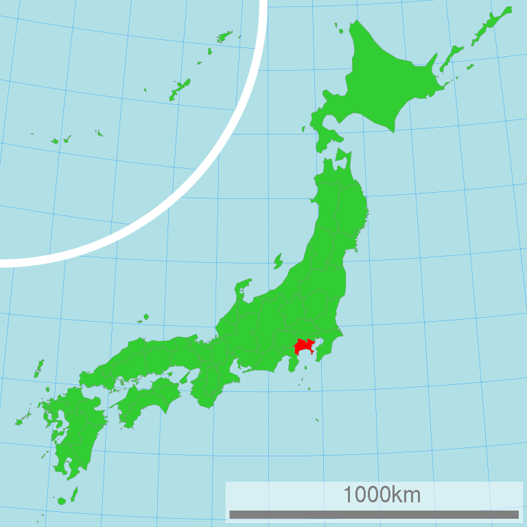
日本語: 神奈川県の位置図
English: Map of Japan with highlight on Kanagawa-ken |
||||||||
| Source | 国土交通省 国土数値情報(行政区域) | ||||||||
| Author | Lincun | ||||||||
| Permission (Reusing this file) |
|

This map was created with unknown tool.
Original upload log
| date/time | username | resolution | size | edit summary |
|---|---|---|---|---|
| 16:25, 2 March 2007 | Lincun | 1,024×1,024 | 15 KB | <span class="comment">({{都道府県地図情報 |都道府県=神奈川県 |都道府県Latin=Kanagawa-ken }} )</span> |
File history
Click on a date/time to view the file as it appeared at that time.
| Date/Time | Thumbnail | Dimensions | Usere | Comment | |
|---|---|---|---|---|---|
| current | 00:40, 16 marte 2011 | | 1,024 × 1,024 (15 KB) | TAKASUGI Shinji | color changes for a better contrast: lightgreen → limegreen deeppink → red |
| 02:19, 21 aprile 2008 |  | 1,024 × 1,024 (15 KB) | BetacommandBot | move approved by: User:LERK This image was moved from Image:Map of Japan with highlight on 14 Kanagawa 神奈川県.svg {{User:Lincun/都道府県地図情報 |都道府県=神奈川県 |都道府県Latin=Kanagawa-ken }} [[Category:Maps of Ka |
Linkes
The following page uses this file:
Global file usage
The following other wikis use this file:
- Usage on ace.wikipedia.org
- Usage on ar.wikipedia.org
- Usage on az.wikipedia.org
- Usage on bg.wikipedia.org
- Usage on bn.wikipedia.org
- Usage on cdo.wikipedia.org
- Usage on ceb.wikipedia.org
- Usage on cy.wikipedia.org
- Usage on da.wikipedia.org
- Usage on en.wikipedia.org
- Kanagawa Prefecture
- Category:Wikipedia requested photographs in Kanagawa Prefecture
- Mycena clariviolacea
- Mycena fonticola
- Mycena fuscoaurantiaca
- Mycena intersecta
- Mycena lanuginosa
- Mycena multiplicata
- Mycena mustea
- Mycena nidificata
- Marasmius sasicola
- Marasmius funalis
- User:Bollins Cerrname/Kanagawa Prefecture
- Kanagawa dialect
- Usage on es.wikipedia.org
- Usage on eu.wikipedia.org
- Usage on fa.wikipedia.org
- Usage on fr.wikipedia.org
- Usage on hak.wikipedia.org
- Usage on hr.wikipedia.org
- Usage on hu.wikipedia.org
- Usage on id.wikipedia.org
- Usage on ilo.wikipedia.org
View more global usage of this file.